Dubai Metro Map
Explore Dubai's metro network with our interactive map and comprehensive station directory. Find detailed information about all stations, nearby attractions, and connections.
About Dubai Metro Map
Dubai Metro is a rapid transit rail network in Dubai, United Arab Emirates. The Red and Green Lines run through the city's main commercial and residential areas. Use our interactive map to explore all stations and plan your journey.
Understanding the Map
- Red Line: Running from Centrepoint to Life Pharmacy, the Red Line serves 35 stations covering major areas including Dubai International Airport, Deira, Karama, Downtown Dubai, and Jebel Ali.
- Green Line: Running from Etisalat to Creek, the Green Line serves 23 stations covering areas including Deira, Al Qusais, Al Jadaf, and Healthcare City.
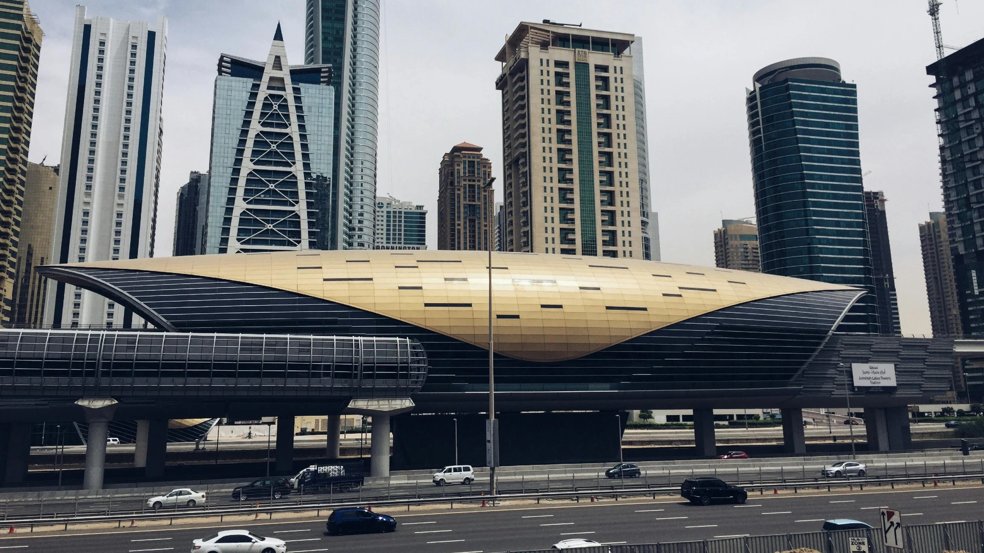
- Interchange Stations: Union and BurJuman stations connect the Red and Green lines, allowing passengers to transfer between lines.
- Zone System: Dubai Metro uses a zone-based fare system with 7 zones. The fare depends on how many zones you travel through.
Using the Interactive Map
Our interactive map offers several features to help you navigate Dubai's metro system:
- Zoom in and out to see more details
- Click on any station to view its details, including nearby attractions and facilities
- Filter to view only Red Line or Green Line stations
- Switch between map view and station list view
- Search for specific stations by name
Metro Operating Hours
Dubai Metro operates from Saturday to Wednesday from 5:00 AM to 12:00 AM. On Thursday, the service runs from 5:00 AM to 1:00 AM, and on Friday from 8:00 AM to 1:00 AM. During public holidays and special events, operating hours may be extended.
Frequently Asked Questions
- Dubai Metro fares are calculated based on the number of zones you travel through. The network is divided into 7 zones. Traveling within 1 zone costs AED 3 with a Silver Nol card, 2 zones costs AED 5, and 3 or more zones costs AED 7.5. There are also special rates for Red tickets (paper tickets) and Gold Class (premium cabin).
- Yes, Dubai Metro offers a daily fare cap of AED 14 for Silver Nol cards and AED 7 for Blue Nol cards. Gold card holders have a daily cap of AED 28. This means you won't pay more than the capped amount regardless of how many journeys you make in a day. Additionally, there are monthly passes available: Silver Nol passes cost AED 350 for all zones, while Gold passes cost AED 500.
- Yes, students, seniors (aged 60+), and people of determination can get a 50% discount on all Dubai Metro fares by using a personalized Blue Nol card. To get this card, eligible individuals need to apply at an RTA customer service center with the required documentation (student ID, Emirates ID showing age, or disability card).
- Gold Class is a premium service that costs twice as much as Standard Class. Gold Class passengers travel in a dedicated cabin at the front of the train with more comfortable seating and less crowding. For example, a 1-zone journey costs AED 3 with a Silver Nol card in Standard Class, but AED 6 with a Gold Nol card in Gold Class.
- Yes, your Nol card can be used across Dubai's integrated public transport system, including the metro, tram, buses, and water buses. The fare cap applies across all these services. Additionally, if you transfer from metro to a feeder bus within 30 minutes, the bus ride is free. Nol cards can also be used for RTA parking payment and at select retail outlets.
- If you don't have enough balance on your Nol card when exiting a station, you'll need to recharge your card at the station's ticket office or vending machine. If you're unable to pay, you may be subject to a fine of AED 200. It's recommended to always ensure your Nol card has sufficient balance before starting your journey.
- Yes, Dubai Metro remains operational on public holidays. However, operating hours may vary during Eid, National Day, and other events. It's recommended to check the RTA schedule or Dubai Metro Rails for the latest updates before traveling on a holiday.
- The Red Line primarily runs along Sheikh Zayed Road, connecting key areas like the airport, Burj Khalifa, and Dubai Marina. The Green Line covers older parts of Dubai such as Deira, Bur Dubai, and Al Jadaf. Both lines intersect at Union and BurJuman stations for convenient transfers.
- Tourists can easily use the Dubai Metro by purchasing a Nol Red Ticket at any metro station. It's a paper-based ticket ideal for short-term use and can be loaded with up to 10 trips or a 1-day pass. Metro stations also offer clear signage in English for easy navigation.
- Yes, the Dubai Metro is one of the safest public transport systems in the world. It has CCTV cameras, dedicated staff, and separate cabins for women and children. It is well-lit, regularly patrolled, and safe for solo travellers, women, and families.
- During peak hours, Dubai Metro trains run every 3 to 5 minutes. Off-peak frequency is around 6 to 7 minutes. Trains are punctual, and live arrival times can be checked using the RTA app or electronic boards at stations.
- A Nol Card is a smart payment card used for Dubai's public transportation, including the Metro, buses, trams, and water buses. Tap your Nol Card at entry and exit gates to automatically deduct the correct fare based on zones traveled.
- Yes, free Wi-Fi is available in most Dubai Metro stations and inside trains through the ‘WiFi UAE’ service. Some restrictions apply on speed and usage, but it's enough for basic browsing and messaging while on the move.
- Yes, Dubai Metro is fully accessible. All stations have elevators, tactile guidance paths for the visually impaired, and designated wheelchair spaces in trains. The system is designed to be inclusive and user-friendly for people of determination.
- Gold Class is a premium cabin in the Dubai Metro offering spacious seating, privacy, and panoramic windows. It requires a Nol Gold Card, and the fare is roughly double the standard class. It's ideal for travelers seeking comfort or carrying luggage.
- The Dubai Metro is busiest during morning (7:00–9:30 AM) and evening (5:00–7:30 PM) rush hours on weekdays. Fridays and holidays tend to be less crowded. For a comfortable ride, try to avoid peak commuting times.
- Pets are not allowed on the Dubai Metro, except for service animals assisting people with disabilities. For pet travel, consider using taxis or private transport options.
- Yes, several Dubai Metro stations offer Park & Ride facilities, especially at terminal stations like Centrepoint (formerly Rashidiya), e& (formerly Etisalat), and Jebel Ali. Parking is free for Metro users, making it convenient for commuters to leave their cars and travel by train.
- You can use the Dubai Metro to reach Expo City via the Route 2020 extension on the Red Line. However, Global Village is not directly accessible by Metro; you’ll need to take a connecting RTA bus or taxi from the nearest station like Mall of the Emirates.
- Most major Dubai Metro stations have dedicated taxi stands located at the exits. You can also book a taxi through the Careem or S'hail app to meet you at the station.